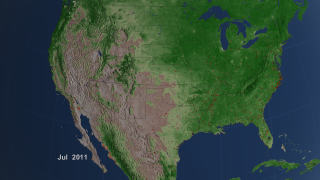
NASA has put out a pretty cool video showing a decade’s worth of satellite imagery of the United States (and the rest of the world). It’s interesting to see the ebb and flow of the snowpack, how the land greens up every year, and where fires break out.

