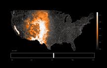
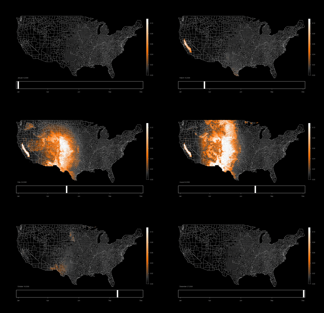
eBird, a real-time online birding checklist, has produced some fascinating animated maps showing week-by-week occurrences of U.S. species. Below is the animation for the Swainson’s hawk, the most migratory of American hawks.
The patterns in the animations struck me as similar to the video of satellite imagery we recently posted which showed how the snowpack, vegetation, and wildfires expand and contract in North America every year.
The eBird website has maps for dozens of other species, but the one above is especially interesting because it helps illustrate how the hawk has developed an entirely new migratory strategy to take advantage of habitat changes in its range. Here’s how eBird describes what’s happening:
A fascinating pattern can be seen by concentrating on the Central Valley of California. The occurrence of Swainson’s Hawks here has been changing in recent years, as the species appears to have taken advantage of the large areas of agriculture that have become available to them within the last century. This year-round animation shows that Swainson’s Hawks arrive here in early March, more than a month earlier than those arriving on the Great Plains. Swainson’s Hawks feed largely on grasshoppers in summer, and the more temperate climate of the Pacific Coast may permit them to return earlier here (a few even winter in California now). But it also seems likely that these birds are not traveling as far south in winter as the more easterly population. Within the past 20-30 years, Swainson’s Hawks have started wintering in the northern hemisphere, and they now occur regularly in winter in Panama, coastal west Mexico, and southern Baja California–all areas that were forest or desert historically, but have recently been cleared and irrigated for agriculture. With hundreds of birds now wintering in the southern Baja California Peninsula, and an increasingly large late February and March migratory passage in southeastern California, it seems likely that these Pacific Swainson’s Hawks are using these new habitats in both summer and winter, and have rapidly evolved a new migratory strategy to take advantage of them.
Another interesting aspect of eBird is that it relies on the efforts of thousands of volunteer birders around the country to collect the data needed to create these visualizations.
Here’s an overview of eBird:
A real-time, online checklist program, eBird has revolutionized the way that the birding community reports and accesses information about birds. Launched in 2002 by the Cornell Lab of Ornithology and National Audubon Society, eBird provides rich data sources for basic information on bird abundance and distribution at a variety of spatial and temporal scales.
eBird’s goal is to maximize the utility and accessibility of the vast numbers of bird observations made each year by recreational and professional bird watchers. It is amassing one of the largest and fastest growing biodiversity data resources in existence. For example, in January 2010, participants reported more than 1.5 million bird observations across North America!
EcoWest’s mission is to analyze, visualize, and share data on environmental trends in the North American West. Please subscribe to our RSS feed, opt-in for email updates, follow us on Twitter, or like us on Facebook.


